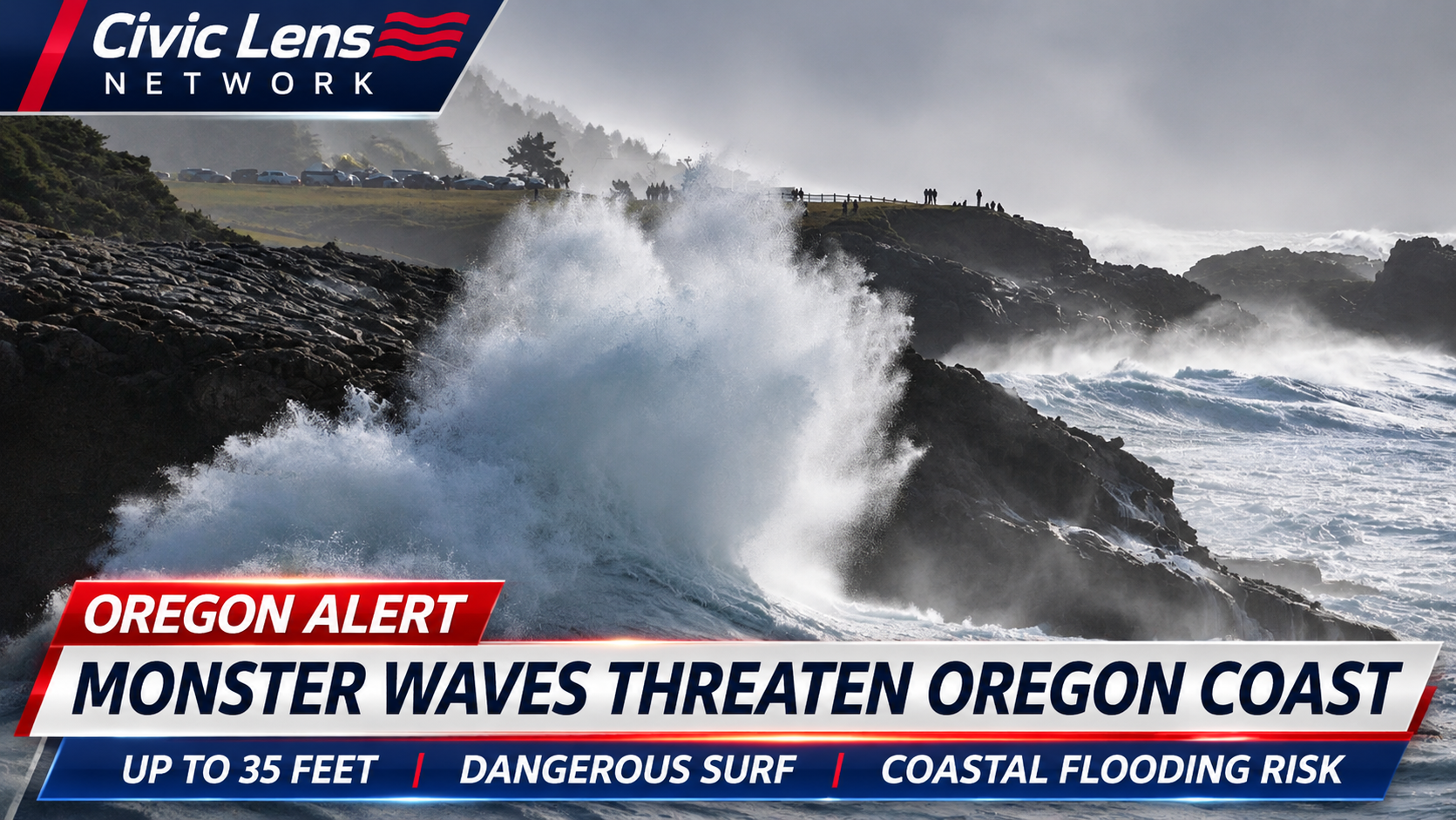
Oregon’s coastline is facing a dangerous weekend as powerful Pacific storms send enormous waves toward beaches, rocky shorelines and coastal communities, prompting widespread warnings from the National Weather Service.
Breaking waves reaching 30 to 35 feet are forecast along much of the state’s coastline Friday, November 13, and Saturday, November 14. Forecasters warn that the incoming surf could sweep people into the ocean, damage coastal structures and cause significant beach erosion.
The danger extends from the northern coastline near Astoria and Cannon Beach through central Oregon and south toward Curry County.
Officials are urging residents and visitors to stay away from beaches, jetties and exposed shoreline areas until conditions improve.
High Surf Warnings Across the Coast
The National Weather Service has issued high surf warnings covering Oregon’s coastal regions, with the most dangerous conditions expected Friday evening and overnight into Saturday.
Along the northern and central coastline, warnings remain in effect from noon Friday until noon Saturday.
Farther south, including Curry County, warnings began at 10 a.m. Friday and are scheduled to continue until 10 p.m. Saturday.
Forecasters expect waves along the southern coastline to build from approximately 20 to 25 feet Friday morning to as high as 35 feet later in the day and into Saturday morning.
These figures represent forecast breaking-wave heights, not the height of every individual wave.
The combination of powerful offshore swells, high tides and incoming weather systems is creating particularly hazardous conditions.
The National Weather Service has also issued coastal flood advisories for vulnerable low-lying areas of the northern coastline, where tidal flooding could occur Friday afternoon.
The Hidden Danger of Sneaker Waves
One of the greatest concerns is the possibility of sneaker waves, unusually powerful surges that travel much farther up beaches than surrounding waves.
These waves can arrive unexpectedly after several minutes of apparently manageable surf.
A person standing on what appears to be a safe section of beach can suddenly find themselves surrounded by rushing seawater.
The National Weather Service describes the sneaker-wave threat during this event as extreme.
People can be knocked off their feet and pulled into the cold Pacific Ocean before they have time to react.
Large driftwood logs present another serious hazard. Powerful waves can lift or roll heavy logs, potentially crushing anyone standing nearby.
Officials also warn against approaching rocks, piers and jetties to photograph the enormous surf.
Even experienced beach visitors can underestimate how far an incoming wave will travel.
Recent Rescue Shows How Quickly Conditions Can Turn Deadly
The warnings follow a frightening incident on November 8, when a woman walking along Secret Beach in southern Oregon was swept into the ocean by powerful surf.
The beach lies within the Samuel H. Boardman State Scenic Corridor, approximately 20 miles north of the California border.
According to Curry County Aquatic Safety, the woman was carried down the shoreline and became stranded on offshore rocks as darkness approached.
Her husband called 911 shortly after 5 p.m.
Responders discovered that she had been swept approximately 200 feet along the coastline and was stranded on rocks roughly 50 to 70 feet offshore.
Lifeguards Shannon Ingram and Luke Martinez responded to the emergency.
Ingram entered the dangerous water wearing protective equipment and successfully reached the stranded woman.
She secured the woman with rescue equipment and brought her back toward shore.
The woman was able to leave the beach with assistance and was transported for medical evaluation.
The rescue demonstrated how quickly a seemingly ordinary beach visit can become a life-threatening emergency when large Pacific swells arrive.
Coastal Communities Face Additional Risks
The powerful surf threatens more than beachgoers.
Forecasters warn that destructive waves could wash over exposed coastal infrastructure, damage shoreline structures and accelerate erosion.
Low-lying areas may also experience water reaching farther inland than usual, particularly during high tide.
Communities along the coast could see dangerous conditions around harbor entrances, waterfront walkways and exposed viewing locations.
The National Weather Service is also monitoring another strong Pacific swell expected to arrive Sunday into Monday, potentially extending hazardous coastal conditions beyond the current warnings.
That additional system could produce breaking waves reaching approximately 25 to 30 feet in some areas.
Officials Urge Residents to Stay Away
Emergency officials are emphasizing that the safest decision is to remain well back from the shoreline.
Visitors should avoid walking near the water’s edge, climbing onto exposed rocks or approaching driftwood during the warning period.
Anyone hoping to photograph the storm should use established viewpoints safely separated from the surf.
Parents and pet owners are being urged to exercise particular caution because children and animals can be overwhelmed by incoming water within seconds.
The approaching waves may provide spectacular views of the Pacific Ocean, but forecasters warn that the conditions are exceptionally dangerous.
With powerful surf expected to continue into Saturday and another storm system approaching afterward, Oregon’s coastal communities face a weekend in which even a brief encounter with the ocean could become deadly.